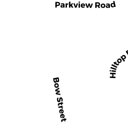
1 HILLTOP TERR
Owner Information
TRASK BRIAN R
1 HILLTOP TERR
WOBURN, MA 01801


Property Details
1 HILLTOP TERR is classified as a Single Family Residential (Ranch).
The primary structure on this property was built in 1952. There are 1931ft2 of built area within this property. There is 893ft2 of residential/living space within this property. This property is listed as having 40 rooms.
1 HILLTOP TERR is valued at 386100. The land is valued at 236000 and the structures are valued at 140700. There is an additional valuation of 9400 on this property.
This property is in Zone R-1. Confirm with local Zoning Board authorities to ensure there are no overlays or other easements on this property.
The most recent deed for 1 HILLTOP TERR is recorded at the local registrar in Book 47191, Page 0282. 1 HILLTOP TERR was last sold on 2006-03-30 for 356000.
Assessment data from fiscal year 2020.
Flood Data
According to the FEMA National Flood Hazard Layer, this property does not appear to be in a flood zone. It may also be in an area not yet reviewed. Nonetheless, confirm this information prior to taking any action.
To view the flood hazards around this property, create a FEMA "Firmette" Map of the area around 1 HILLTOP TERR.
Broadband Internet Providers
| Provider | Type | Bandwidth (mbps) | |
|---|---|---|---|
| T-Mobile | Fixed Wireless | 25 | 3 |
| Verizon New England Inc. | DSL | 5 | 0 |
| Viasat Inc | Satellite | 100 | 3 |
| Crown Castle Fiber | Fiber | 0 | 0 |
| RCN | Cable | 500 | 20 |
| VSAT Systems, LLC. | Satellite | 2 | 1 |
| HughesNet | Satellite | 25 | 3 |
| RCN | Cable | 1000 | 20 |
| Verizon New England Inc. | Fiber | 940 | 880 |
| GCI Communication Corp. | Satellite | 0 | 0 |
| Comcast | Cable | 1000 | 35 |
Broadband service provider data from December 2020.
Adjacent Properties
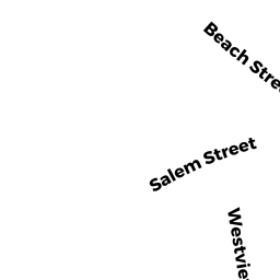
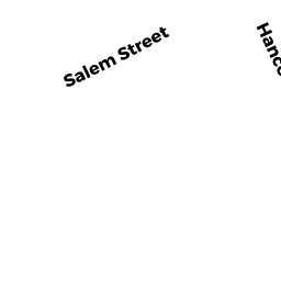
- 163 SALEM ST
Gasoline Service Stations - providing engine repair or maintenance services, and fuel products owned by BARBAS PETER E - 17 PARKVIEW RD
Single Family Residential owned by BARBAS PETER E - 15 PARKVIEW RD
Three-Family Residential owned by ATWOOD KATHLEEN J - 173 SALEM ST
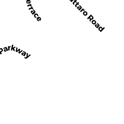
Single Family Residential owned by STICKLOR VICTOR J TR - 3 HILLTOP TERR
Single Family Residential owned by WRIGHT ROBERT K